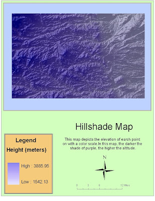
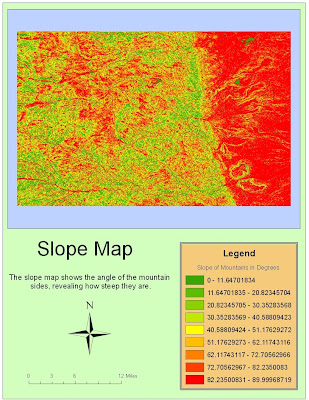
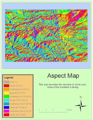
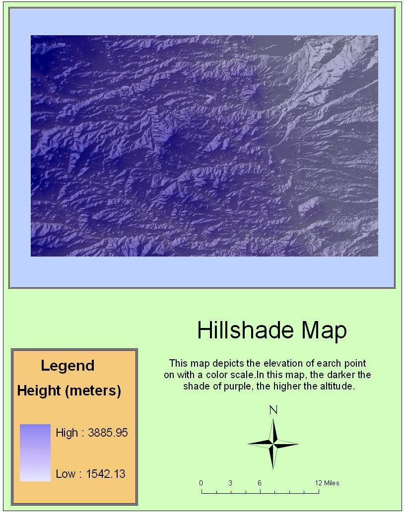
I chose a region in the Rockies of Colorado. This particular area is just to the West of Denver. There is a relative flatland on the eastern side of my region where the outskirts of the city are located. However, there is a pretty distinct north/south line where the higher elevations of the mountains become more evident. This is actually a region that I have been to and skied at so it was interesting seeing the area from this perspective. The geographic coordinate system used is the North American Datum S 1983.
The extents of the area of interest are:
Top 40.0427777773 degrees
Left -105.62861111 degrees
Right -105.113333332 degrees
Bottom 39.7141666661 degrees
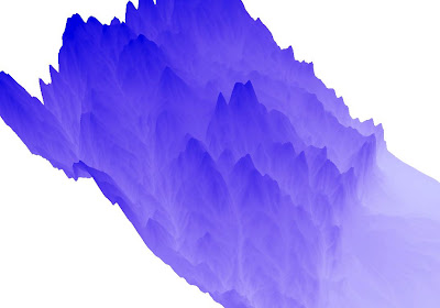
This last map is the 3D rendering of my area of interest. Hypothetically, it should give a three dimensional representation of the region I have been looking at for the last three maps.


No comments:
Post a Comment